
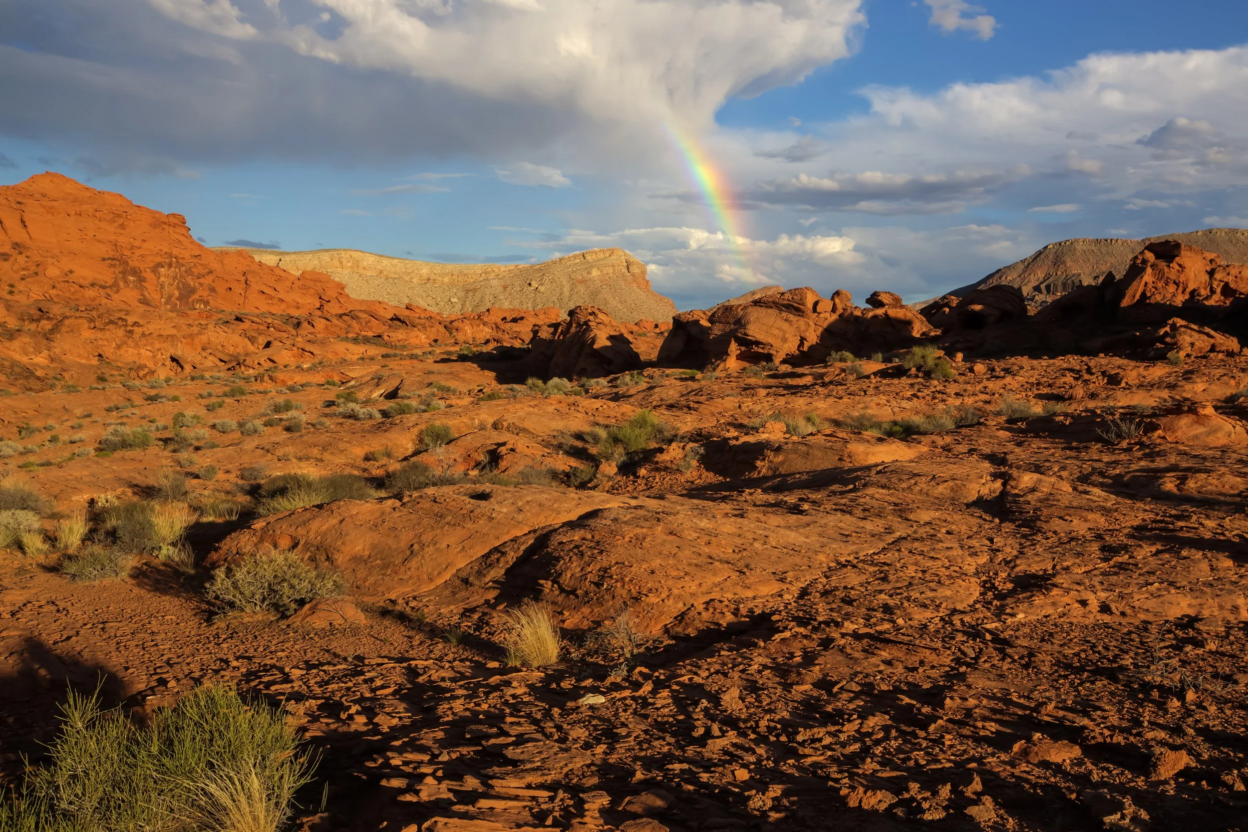
Gold Butte National Monument
Implementation Plan
Welcome and Project Overview
Thank you for visiting the Virtual Public Scoping website for the U.S. Department of the Interior, Bureau of Land Management’s Gold Butte National Monument Implementation Plan.
The following information is intended to provide context for the Gold Butte National Monument Implementation Plan and the virtual public scoping meetings held on November 29 and 30, 2022 from 6 to 8 p.m. PST
The Bureau of Land Management accepted input during the scoping period for the Gold Butte National Monument Implementation Plan from October 31 through December 14, 2022.
While the scoping period has ended, this virtual public scoping website provides information on the project and how to participate in the scoping period.
General information about the Gold Butte National Monument is available at the Bureau of Land Management’s Gold Butte National Monument webpage.
The following documents were made available for public review on the NEPA Register website and are linked below:
For those visitors with limited bandwidth or a desire to review project materials offline, the Gold Butte National Monument Implementation Plan virtual public scoping meeting files will be made available for download. Visitors have the opportunity to view the meeting recordings here.
Virtual Public Scoping Meeting Stations
Project Background and Overview
The Las Vegas Field Office of the Nevada Bureau of Land Management intends to prepare an Implementation Plan for the Gold Butte National Monument in the northeastern portion of the Southern Nevada District. The Gold Butte National Monument was added as a unit of the National Landscape Conservation System by Presidential Proclamation 9559 on December 28, 2016, under Section 320301 of Title 54, United States Code known as the Antiquities Act.
Gold Butte National Monument (Monument) is located in northeastern Clark County between the City of Mesquite and Lake Mead National Recreation Area, as shown in the area map below. The Monument encompasses approximately 296,937 acres of public land and is managed by the Bureau of Land Management Southern Nevada District. Of the total acreage, 11,779 acres is currently under a withdrawal to the Bureau of Reclamation and will be transferred to the Bureau of Land Management as directed in the Proclamation.

For more information or to be added to the mailing list, please email the Bureau of Land Management.