USFWS Desert Tortoise General Conservation Plan
Virtual Public Information Forum
Project Overview

The Service is proposing to develop and approve a GCP for the federally threatened desert tortoise in California. The GCP would provide a streamlined mechanism for local agencies and project applicants to meet the statutory and regulatory requirements of the Endangered Species Act of 1973, as amended—if their proposed action is reasonably certain to result in the take of desert tortoises—while promoting conservation of the desert tortoise. “Take” is defined in the Endangered Species Act as to harass, harm, pursue, hunt, shoot, wound, kill, trap, capture, or collect, or to attempt to engage in any such conduct. The Service is proposing to streamline the manner by which it considers the issuance of incidental take permits for covered nonfederal activities in the desert tortoise’s range in the state. Covered activities could include commercial, agricultural, residential, industrial, and infrastructure development activities and associated operations and maintenance.
The GCP would provide specific direction to applicants to incorporate the most current measures to minimize the take of desert tortoises into their applications, and better incorporate mitigation from incidental take permits into a comprehensive strategy that contributes to recovery of the desert tortoise. Implementation of the GCP would substantially reduce the time and effort expended by Service staff in processing individual incidental take permits while improving the appropriate standards for protection of desert tortoises in development areas and furthering the species’ recovery in conservation areas. As such, it would provide for conservation of the desert tortoise in a more comprehensive and consistent manner.
The EIS evaluates the impacts of and alternatives to the proposed development and implementation of the GCP. The Service developed the EIS to meet the requirements of NEPA, Council on Environmental Quality regulations implementing NEPA, and section 10(a)(1)(B) of the Endangered Species Act.
Project Overview Map
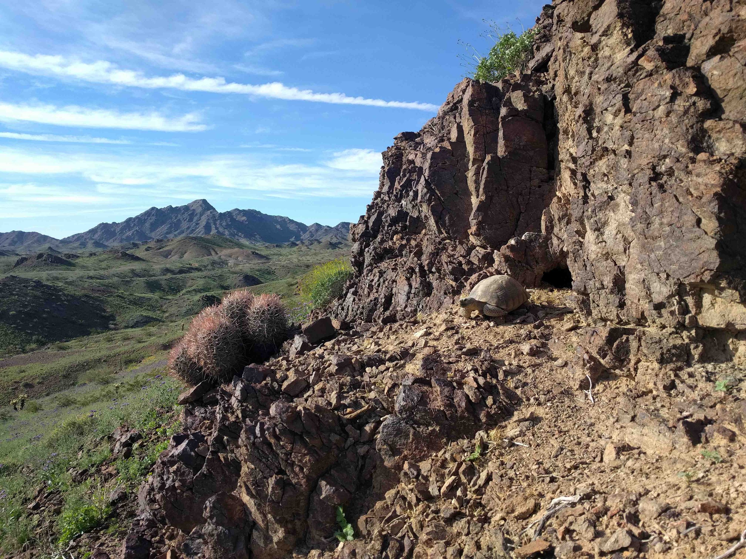
The planning area includes a large portion of the range of the desert tortoise in California. More information on potential permit areas and mitigation areas can be found in the draft GCP.
Notes on map use
You can access the map legend by toggling it on or off with the arrow in the upper left corner
You can click on a symbol in the map to find out more information
You can search for an address in the upper right corner
This information can also be downloaded as a Google Earth KMZ file (planning area, permit areas, and mitigation areas). Please note that viewing the KMZ requires the user to have Google Earth, which is available here.
For more information or to be added to the mailing list, please email Peter Sanzenbacher at peter_sanzenbacher@fws.gov.